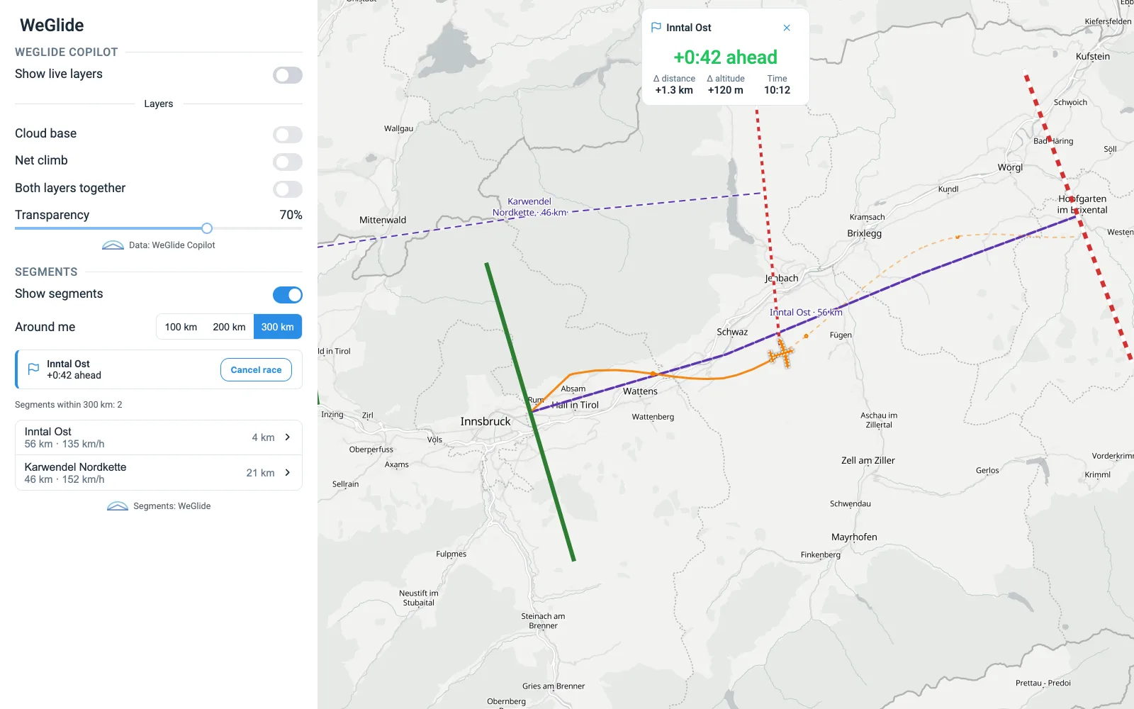
XC Therm comes to Navia: the vertical-wind forecast on your moving map
XC Therm’s high-resolution forecast of rising and sinking air, from the ICON-CH and MetOffice UKV models, on Navia’s moving map — loaded for your area until sunset.
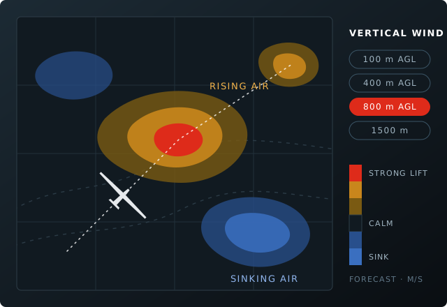
XC Therm forecasts where the air rises, where it sinks and how strongly — hour by hour, at heights from 100 m above the ground up to 8000 m, from the high-resolution ICON-CH and MetOffice UKV weather models. That forecast now lies on Navia’s moving map, next to SkySight and TopMeteo.
Loaded before you need it
Navia loads the forecast for the area you fly in — 300 km around the aircraft, or your task plus 50 km — from the current hour until sunset, and keeps it on board, so it is there when the connection is not. LX Cloud cuts XC Therm’s forecast to your area and sends it as compact images, so a day’s forecast stays small enough for the aircraft’s cellular connection.
Sign in once
You need your own XC Therm account with a subscription. Sign in once under Connected services in the LX Portal — LX Cloud uses your password for that one sign-in and does not keep it — and every Navia on your account shows the forecast models your subscription covers.
A forecast helps you plan and choose where to look. It is not a navigational aid: trust what you find in the air.
Stories like this by email — firmware releases, new instruments and show dates, a few times a year.